Media Kit
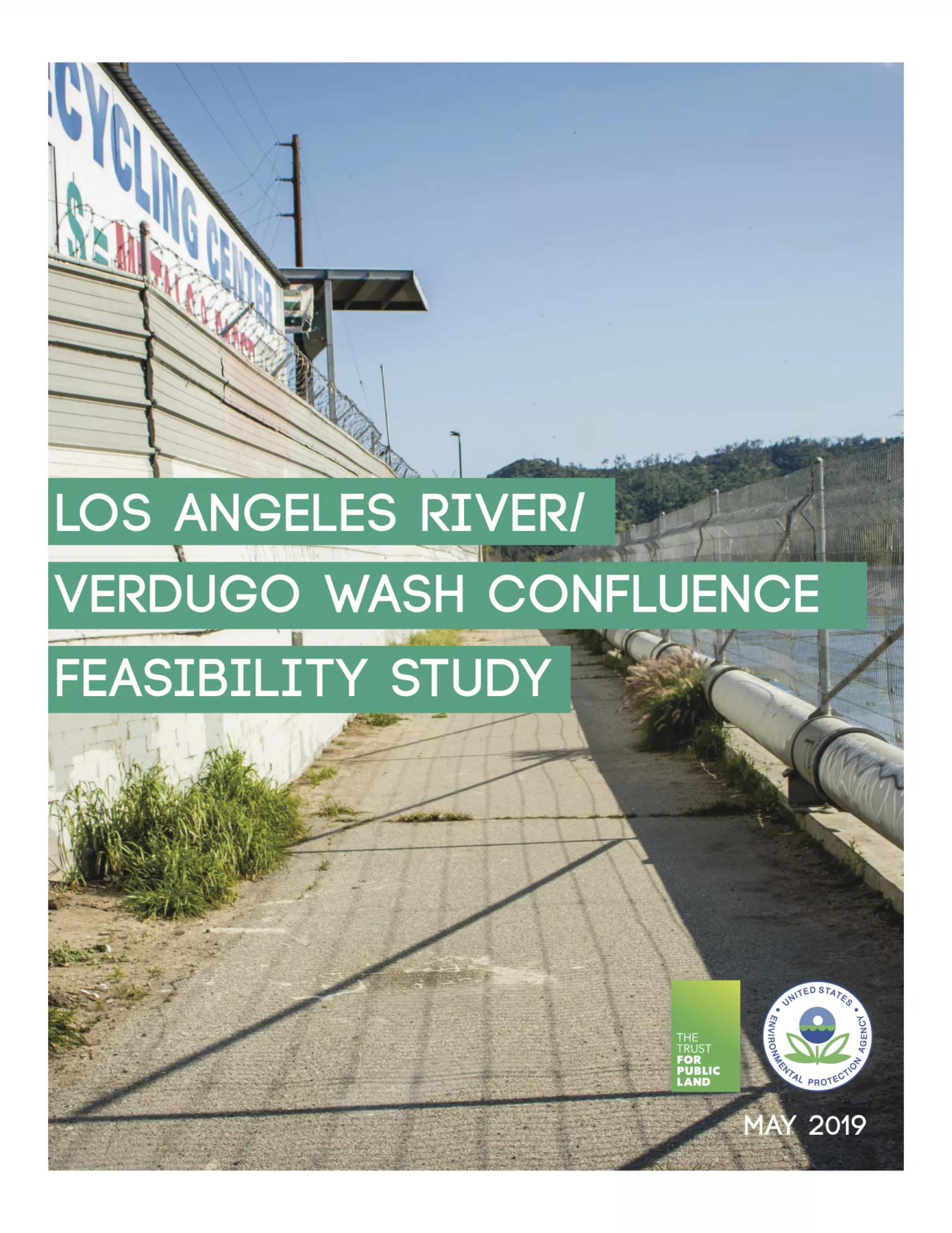
Los Angeles River / Verdugo Wash Confluence Feasibility Study
In 2017, Trust for Public Land (TPL) received a Brownfields Area Wide Planning Grant from the U.S. Environmental Protection Agency (EPA) to explore concepts for greening an industrial area using an equitable and inclusive engagement process. Specifically, TPL sought to develop a model for creating a thriving jobs center that embodies environmental values in a 50-acre industrial area (Study Area) at the confluence of the Verdugo Wash and Los Angeles River. TPL set out to develop this model through an engagement process that was inclusive of business, LA River, neighborhood, and government stakeholder input.
The Study Area has historically been a focal point in various plans, studies, and projects that reimagine the area to better reflect the values of environmental restoration and sustainability at the expense of current jobs and business activity. The approach presented in this report aims to preserve the area as a jobs center, while integrating green investments and practices that uphold the long-standing environmental values tied to the LA River. This effort is part of TPL’s decades-long endeavor in working with stakeholders to improve the LA River.
TPL worked with the Los Angeles-based firms Estolano LeSar Advisors and Studio-MLA to study the confluence’s industrial area, develop scenarios for creating a green industrial riverfront grounded by best practices and stakeholder feedback, and craft a high-level implementation strategy. This report presents our research findings, two scenarios that illustrate our vision for a greener industrial area, and an implementation strategy that preserves and environmentally enhances the Study Area. In the long term, we hope that other cities and sub-regions along the LA River can build on these concepts to green other industrial stretches.
Download the LA River / Verdugo Wash Confluence Feasibility Study
LA River Design Guidebook
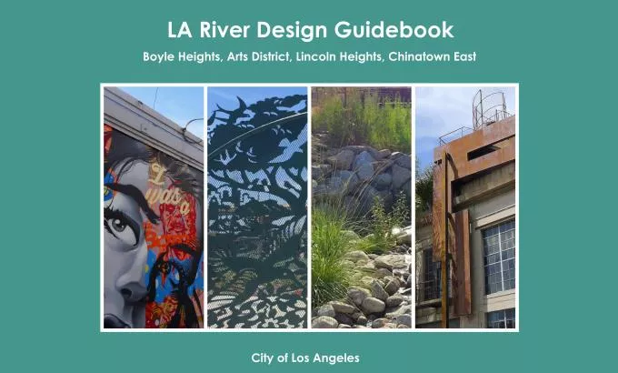
The purpose of the LA River Design Guidebook is to highlight desirable, river-sensitive or “riverly” design characteristics for features that will be built, rehabilitated or redeveloped on private property and in the public realm along and near the LA River. This guidebooks aspires to inform the public at-large of the design opportunities to enhance access, develop diverse recreation opportunities and create a distinct river identity. The LA River Design Guidebook provides 72 design recommendations that help advance Mayor Garcetti’s goals of creating a livable communities and revitalization of the Los Angeles River. The LA River Design Guidebook complements the 2007 Los Angeles River Revitalization Master Plan and builds upon the LA River Improvement Overlay (RIO) District and LA River Design Guidelines associated with the RIO. The LA River Design Guidebook was a yearlong process between the Mayor Garcetti’s LARiverWorks and Bloomberg Associates.
These recommendations were created from the input of residents and stakeholders from Boyle Heights, Lincoln Heights, Chinatown and Central City North, the City Council representatives (from Districts 1, 13 and 14), the Mayor’s Office, state and federal government agencies, design experts, engineers, and representatives of many non-profit organizations. Design recommendations were gathered through interviews with more than 100 individuals in late 2015 and early 2016. The design recommendations contextualized applicable river plans and other planning efforts to build upon. The recommendations in the LA River Design Guidebook should be considered relevant to other river communities.
Download the LA River Design Guidebook
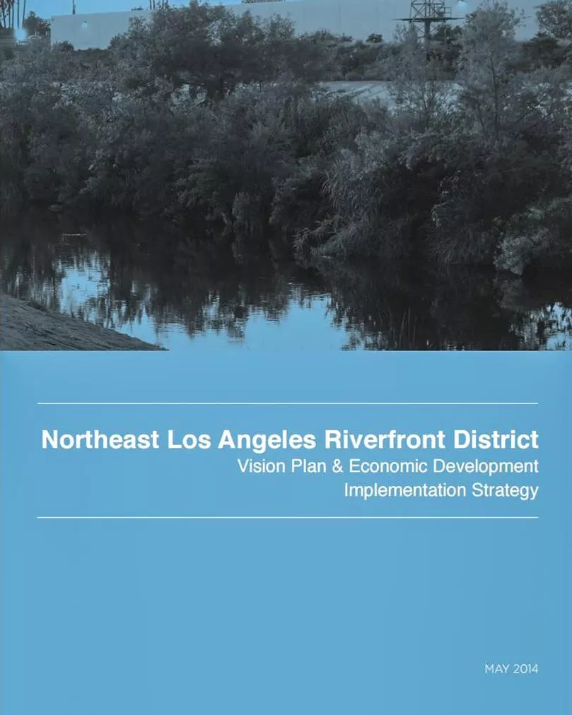
Northeast Los Angeles Riverfront District Vision Plan & Economic Development Strategy
In 2014, Economic Workforce Development Department led the effort to complete NELA Riverfront District Vision Plan—a community-led planning effort focused on communities adjacent to the soft-bottomed section of the river called the Glendale Narrows. The purpose of the Vision Plan was to develop long term framework that informs a multitude of agencies of future economic and recreational investment priorities along the river corridor. Funded by a grant from the US Department of Housing and Urban Development, this area was selected for river-related community planning because of its viability as a potential future Community Redevelopment Agency (CRA) project area. Although CRAs were abolished by the State, a collaborative organization was formed and went on to engage the community in creating a Vision Plan and a community designed strategic plan for economic development and workforce strategies in multiple river communities. The plan addresses the physical design and urban form of adjacent river communities. It also contextualizes the role river communities play in influencing new development, economic opportunities, and the relationship to social, environmental, and economic factors. The NELA Riverfront District Vision Plan helps establish a hierarchy of community vetted economic development and workforce development projects in multiple river communities.
Download the Northeast Los Angeles Riverfront District Vision Plan & Economic Development Stragety
Books
- Down by the Los Angeles River: Friends of the Los Angeles River's Official Guide, Joe Linton, Wilderness Press, 2005
- Eden by Design: The 1930 Olmsted-Bartholomew Plan for the Los Angeles Region, Greg Hise and William Deverell, The Johns Hopkins University Press, 2000
- Hazardous Metropolis: Flooding and Urban Ecology in Los Angeles Jared Orsi. University of California Press, 2004
- Los Angeles River Studio/Book, Harvard University Graduate School of Design, 2002
- Rio LA: Tales from the Los Angeles River, Patt Morrison, Angel City Press, 2001
- Supernatural Urbanism, LA River Studio, Harvard University Graduate School of Design, 2003
- The Los Angeles River: Its Life, Death and Possible Rebirth, Blake Gumprecht, The Johns Hopkins University Press, 2001
Plans, Studies, And Reports
- An Open Space Study of Northeast Los Angeles (Fall 2003), University of California, Los Angeles (UCLA) Extension Landscape Architecture Program
- Arroyo Seco Parkway Corridor Management Plan, A Rehabilitation and Preservation Plan for Southern California's Most Historic Road (February 2002), The National Trust for Historic Preservation, Rural Heritage / Historic Roads Program
- Arroyo Seco Watershed Restoration Feasibility Study (May 2002), North East Trees and the Arroyo Seco Foundation
- Beneficial Uses of the Los Angeles and San Gabriel Rivers (2001) Heather Trim, Ph.D., Los Angeles and San Gabriel Rivers Watershed
- Biota of the Los Angeles River (1993) Kimball Garrett, editor, Natural History Museum of Los Angeles County
- Boyle Heights, Los Angeles, CA: A Los Angeles Design Action Planning Team Report (May 1990), Department of City Planning and The Urban Design Advisory Coalition
- Conservation Plan (December 1973), City of Los Angeles Department of City Planning
- California Environmental Handbook (October 2001) USDA Natural Resources Conservation Service
- California Watershed Assessment Manual (May 2005), California Resources Agency and California Bay Delta Authority
- Common Ground from the Mountains to the Sea: Watershed and Open Space Plan for the San Gabriel and Los Angeles Rivers (October 2001), California Resources Agency, San Gabriel and Lower Los Angeles Rivers and Mountains Conservancy, and Santa Monica Mountains Conservancy
- El Pueblo Lake Initial Concept Study (2002), City of Los Angeles Bureau of Engineering
- Greater Los Angeles County Region Integrated Regional Water Management Plan (December 2006), Los Angeles County Department of Public Works, et.al.
- Rehabilitation of the Hansen Dam Lower Lakes, U.S. Army Corps of Engineers, Los Angeles District
- Healthy Parks, Schools, and Communities: Mapping Green Access and Equity for the Los Angeles River (2006), The City Project, Center for Law in the Public Interest
- Integrated Resources Plan for the Wastewater Program (2006), City of Los Angeles Bureau of Sanitation
- Long Beach RiverLink, Connecting City to River (June 2003), Studio 606, California State Polytechnic University, Pomona, Graduate Program Department of Landscape Architecture
- Los Angeles River and Biological Habitat Assessment (April 2004), U.S. Bureau of Reclamation Natural Resources Group
- Los Angeles River Bikeway and Greenway Planning Study, (2003) North East Trees
- Los Angeles River Greenway: Sherman Oaks to Studio City Master Plan (2001), City of Los Angeles Department of Recreation and Parks
- Los Angeles River Bridges Recording Project Report, Historic American Engineering Program (HAER) (December 2000), National Park Service and City of Los Angeles Bureau of Engineering
- Los Angeles River Cornfields Area Environmental Restoration Study, U.S. Army Corps of Engineers
- Los Angeles River Drainage Area Study (LACDA) Recreational Opportunities Report (1980), US Army Corps of Engineers
- Los Angeles River Drainage Area Study (LACDA) Review Feasibility Study Report (1991) US Army Corps of Engineers
- Los Angeles River Master Plan (1996), County of Los Angeles Department of Public Works and National Park Service Rivers and Trails Program
- Los Angeles River Master Plan Landscaping Guidelines and Plant Palettes (December 2006), Los Angeles County Department of Public Works
- Los Angeles River Master Plan Sign Guidelines (2003), Los Angeles County Department of Public Works
- Los Angeles River Revitalization Master Plan (May 2007), City of Los Angeles
- Our Future Neighborhoods: Housing and Urban Villages in the San Fernando Valley (July 2003), Economic Alliance of the San Fernando Valley
- Pacoima Wash Greenway Master Plan (June 2004), City of San Fernando Department of Public Works, Bureau of Engineering
- Rim of the Valley Trail Corridor Master Plan (June 1990), the Santa Monica Mountains Conservancy
- Second Nature, Adapting LA’s Landscape for Sustainable Living (1999), TreePeople
- Lincoln Heights Riverfront Strategic Plan (Spring 2003), Department of Urban Planning, School of Public Policy and Social Research, University of California, Los Angeles
- The State of the Tujunga: An Assessment of the Tujunga/Pacoima Watershed (October 2006), The River Project, CalFed Bay Delta, and The Tujunga Watershed Project
- Survey of Invasive Non-Native Plants, Primarily Arundo Donax, Along the Los Angeles River and Tributaries (April 2002), Bill Neill, Riparian Repairs
- Taylor Yard Multiple Objective Feasibility Study (June 2002), California Coastal Conservancy
- Taylor Yard Public Consensus Plan (January 2005), City of Los Angeles Department of Recreation and Parks and California State Parks
- The Cornfield and the Flow of History: People, Place and Culture (April 2004) The City Project, Center for Law in the Public Interest
- The River Through Downtown, (1999) Friends of the LA River (FoLAR), et al.
- Tujunga-Pacoima Watershed Plan (April 2008), The River Project
- The Science and Biology of the Los Angeles River Conference (May 2004), City of Los Angeles, Bureau of Sanitation, Watershed Protection Division
- Urban Water Management Plan (2005), City of Los Angeles, Department of Water and Power
- Watershed Planning Guide (February 2001), California Coastal Conservancy
- Wetlands of the Los Angeles River Watershed: Profiles and Restoration Opportunities (January 2000), California Coastal Conservancy
Student Projects
- Studio on the Los Angeles River, 2013, Harvard Graduate School of Design, in partnership with SWA Los Angeles
Other Projects And Resources
- City of Los Angeles Landscape Ordinance
- Development Best Management Practices Handbook, City of Los Angeles Bureau of Sanitation, Watershed Protection Division
- Glendale Narrows Riverwalk Project (April 2003), Pamela Burton & Company,
- Landscape Architecture, City of Burbank
- Los Angeles River Emergency Response Signage Proposal, City of Los Angeles
- Bureau of Engineering
- Los Angeles River: Linking Us Together, City of Los Angeles Bureau of Sanitation Watershed Protection Division
- Seeking Streams: A Landscape Framework for Urban and Ecological Revitalization in the Upper Ballona Creek Watershed, Jessica Hall, et al., sponsored by the City of Los Angeles Bureau of Sanitation Watershed Protection Division
- U.S. Army Corps of Engineers Operation and Maintenance Manual
- Watershed-University/Arroyo Seco Notebook, North East Trees, et al.
Peer Cases From Other Cities
- Anacostia River – Washington, D.C.
- Chattanooga River-Chattanooga, TN
